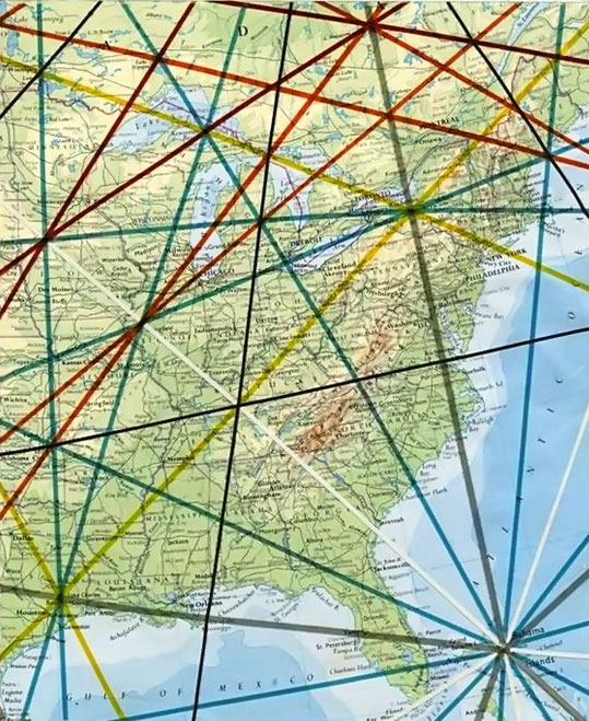
Facts About Leylines
 Ley-lines: from the site Ancient Wisdom
(‘Ley’,’lea’ – ‘A clearing’) (‘Heilige Linien’ to the Germans ‘Fairy paths’ to the Irish, ‘Dragon Lines’ to the Chinese, ‘Spirit Lines’ to Peruvians and ‘Song Paths’ to the Australian Aborigines – and so on around the world).
Most cultures have traditions and words to describe the straight, often geometric alignments that ran across ancient landscapes, connecting both natural and sacred prehistoric structures together. Usually, the names given to represent these invisible lines are translated to an equivalent of ‘spirit’, ‘dream’, or ‘energy’ paths. However, apart from the physical presence of the sites themselves, proving the presence of a ‘connection’ between them is something that researchers have found notoriously elusive.
Amongst the widely differing (and often simplistic) theories that attempt to explain why ley-lines and landscape alignments first appeared, the following theories probably say as much about us now as at any time in the past, yet we are bound to acknowledge and respect the following writers’ opinions and conclusions as ‘they’, the following few, are the giants upon whose shoulders this field of study current sits:
The Definition of a Ley-line:
Even though the term ‘Ley-line was originally conceived by Alfred ‘Watkins, by 1929, he had discarded the use of the name ‘ley’ and referred to his alignments only as ‘old straight tracks’ or ‘archaic tracks’
“It is quite useless looking for existing fragments, however old, of roads which may remain from the first track, although, as we shall see, some bits may form useful indications of its site. The changes from early days have been so many in the matter of roads. We must therefore clear our minds, not only of what we think of roads, even Roman ones, but of our surmises, and begin again.” – Alfred Watkins
Read More….
The current definition of a Ley-line according to Wikipedia.en.org is as follows:
‘Ley lines are hypothetical alignments of a number of places of geographical interest, such as ancient monuments and megaliths. Their existence was suggested in 1921 by the amateur archaeologist Alfred Watkins, whose book ‘The Old Straight Track’ brought the alignments to the attention of the wider public’.
This explanation by no means completes the modern definition of a ley-line, as we cannot say for example that all alignments of stones are ley-lines, however old they are. Nor does it follow that all ancient sites were aligned deliberately, even those that appear to have been.
Alfred Watkins, the modern founding father on the subject, created the first basic set of guidelines in order to describe ley-lines according to his perception. As we have learned more about ley-lines, so we have had to adapt these original guidelines in order to explain our findings, whilst keeping to the context with Watkins’ original ideas.
Ley-Markers:
The following natural and man-made features were suggested by Watkins to be reliable ley-markers:
Mounds, Long-barrows, Cairns, Cursus, Dolmens, Standing stones, mark-stones, Stone circles, Henges, Water-markers (moats, ponds, springs, fords, wells), Castle, Beacon-hills, Churches, Cross-roads, Notches in hills, Camps (Hill-forts),
Any true Watkinsian ley requires it to have a start (or finish) point in the shape of a hill. (4)
From map and fieldwork, Paul Deveraux concluded that all Henges are likely to indicate the presence of a Ley. (2)
We can therefore begin to gauge the strength of a ley-line according to its length, accuracy of deviation, number of ley-markers and their individual significance.